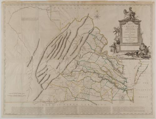
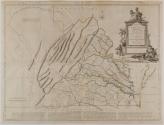
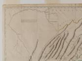
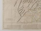
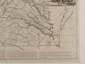
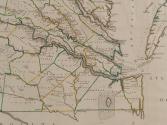
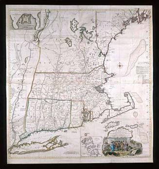
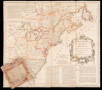
A New and Accurate/ MAP OF/ VIRGINIA/ Wherein most of the/ COUNTIES/ are laid down from/ ACTUAL SURVEYS./ With/ A Concise Account of the/ Number of/ Inhabitants, the Trade, Soil, and Produce/ of that/ PROVINCE.
DateFebruary 1770
Cartographer
John Henry (d. 1773)
Engraver
Thomas Jefferys (ca. 1710-1771)
Publisher
Thomas Jefferys (ca. 1710-1771)
OriginEngland, London
MediumBlack and white line engraving with period hand color on laid paper
DimensionsFramed: 47 1/4 × 60 × 1 7/8in.
Credit LineMuseum Purchase
Object number1955-486,A
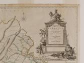
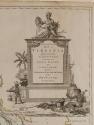
DescriptionThe upper right cartouche reads: "A New and Accurate/ MAP OF/ VIRGINIA/ Wherein most of the/ COUNTIES/ are laid down from/ ACTUAL SURVEYS./ With/ A COncise Account of the/ Number of/ Inhabitants, the Trade, Soil, and Produce/ of that/ PROVINCE./ By JOHN HENRY./ Engraved by Thomas Jefferys Geographer to the KING."The lower margin reads: "LONDON February 1770 Published according to Act of Parliament for the AUTHOR by Tho.s Jefferys at the Corner of S.t Martins Lane in the Strand."
Label TextShortly after the publication of the highly successful and accurate map of Virginia by Joshua Fry and Peter Jefferson, John Henry, father of Patrick Henry and surveyor of Hanover County, announced that he intended to make a new and better map of Virginia. Throughout the production of the map Henry was plagued with difficulties in obtaining financial backing, both from the Virginia House of Burgesses and from subscriptions. When the map was finally published in 1770, its inferiority to Fry and Jefferson's map was quickly noted. One commentator wrote in the VIRGINIA GAZETTE (January 31, 1771, Purdie and Dixon) that Henry presented a "better Disposition of Gentlemen's seats" and assigned "more beautiful Dimensions and Courses to the Rivers, than those which Nature has alloted them." He went on to summarize that "I subscribe to my Friend's opinion, having often seen your Map hung up in Houses, not because they were reckoned useful, but ornamental." Whether for ornamentation or to make a political statement, Lord Botetourt, Royal Governor from 1768 to 1770, was not only a subscriber to the map, but hung it in one of the most prominent locations in the Governor's Palace --over the mantle in the Dining Room.


1724 (1822-1840)