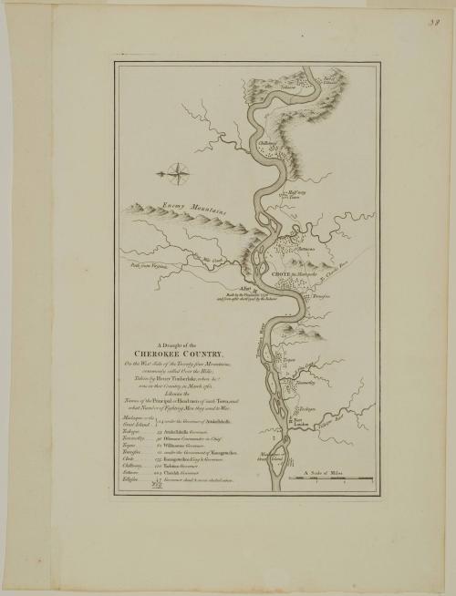
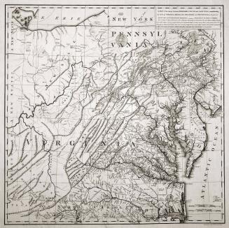
A Draught of the/ CHEROKEE COUNTRY,/ On the West Side of the Twenty four Mountains,/ commonly called Over the Hills
Date1768 (originally published in 1765)
Cartographer
Henry Timberlake (1730-1765)
Publisher
Thomas Jefferys (ca. 1710-1771)
Publisher
Robert Sayer (1725-1794)
OriginEngland, London
MediumLine engraving on laid paper
DimensionsOverall: 15 5/8 × 9 5/8in. (39.7 × 24.4cm)
Framed: 26 1/8 × 19 5/8 × 7/8in.
Credit LineMuseum Purchase
Object number1990-211
DescriptionThe text in the lower left reads: "A Draught of the/ CHEROKEE COUNTRY,/ On the West Side of the Twenty four Mountains,/ commonly called Over the Hills;/ Taken by Henry Timberlake, when he/ was in that Country, in March 1762./ Likewise the/ Names of the Principal or Head men of each Town, and/ what Number of Fighting Men they send to War."Label TextDespite the fact that the European presence in America adversely affected the Indians in many ways, they were able to manipulate the balance of power between England and France. While they were feared, they were also relied upon for defense and trade goods. Each of the major powers competing for the Indian trade wanted to secure the allegiance of individual tribes.
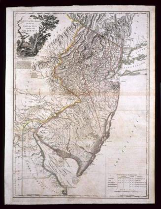
In November 1761, Henry Timberlake, an ensign from Virginia, led a diplomatic journey down the Holston and up the Little Tennessee Rivers to the towns of the Overhill Cherokees. The remarkably accurate map Timberlake compiled was the first printed map of any part of Tennessee taken from an actual survey.
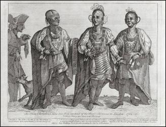
After spending three months with the Cherokees, Timberlake traveled to Williamsburg, accompanied by about seventy-two Indians. One of them approached Governor Francis Fauquier about going to London to meet the king. Eventually it was decided that three of the Cherokees, an interpreter, and Timberlake would make the journey.


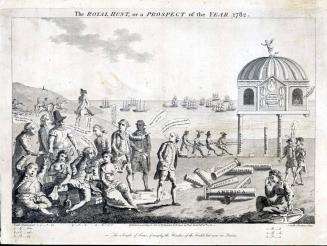
February 16, 1782

Probably 1860-1872
May 6, 1778