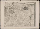
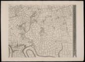
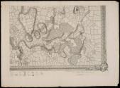
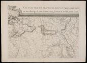
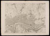
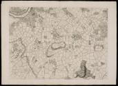
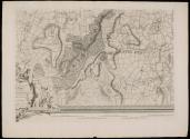
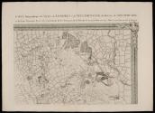
"New & Accurate Survey...London/Westminst"
Date1748
Cartographer
Jean Rocque (fl. 1734-1762)
Engraver
John Pine (1690-1756)
OriginEngland, London
MediumBlack and white line engraving
Dimensions16 sheets, each approximately OH: 22 1/8" x OW: 30"
Credit LineMuseum Purchase
Object number1990-214
DescriptionMap of London consisting of sixteen sheets. Black and white line engraving.Label TextEighteenth-century London was the largest city in Europe, and twenty times the size of any North American city. London led the world in commercial trade, manufacturing, and finance. Powerful though it was, London’s economy was subject to the changing political climate in the colonies. London workers lost jobs and merchants lost money when colonists boycotted British imports, emphasizing the strong ties between London and her North American colonies.
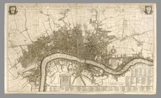

March 31, 1751