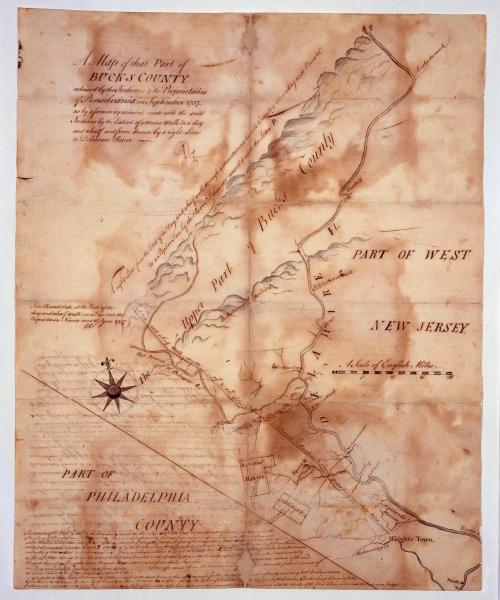
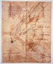
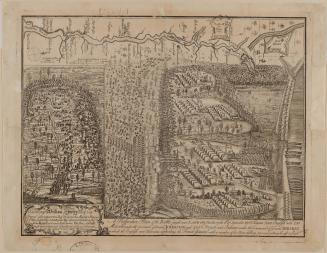
A Map of that Part of/ BUCKS COUNTY/ released by the Indians to the Proprietaries/ of Pensilvania in September 1737 ("Walking Purchase Map")
Date1737-1738
Cartographer
Lewis Evans (ca. 1700-1756)
OriginAmerica, Pennsylvania
MediumIron gall ink with watercolor on laid paper
DimensionsOH: 18" x OW: 14 1/2; Framed: OH: 23 7/8" x OW: 20 1/4"
Credit LineMuseum Purchase
Object number2006-122
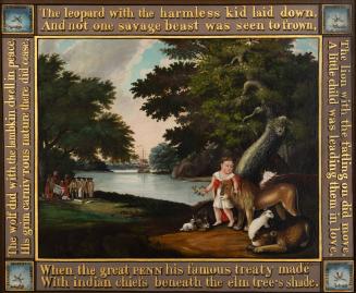
DescriptionThe text in the upper left corner reads: "A Map of that Part of/ BUCKS COUNTY/ released by the Indians to the Proprietaries/ of Pensilvania in September 1737,/ as by a former agreement made with the said/ Indians by the Extent of a mans walk in a day/ and a half and from thence by a right Line/ to Delaware River"Label TextBy the 1730s, William Penn's sons, John and Thomas, began to sell off frontier lands to prospective settlers that had never been purchased from the Indians. This map, illustrating a tract of land in Bucks County, Pennsylvania, along the Delaware River, commemorates a very controversial land transaction between the Penn family and the Delaware Indians called the Walking Purchase. In 1737, the Penn's agents coerced four leaders from the Six Nations to sign an agreement acknowledging that William Penn had negotiated an earlier deed for the Bucks County tract. Since the land had not been surveyed at the time the alleged transaction was to have taken place, the exact boundaries needed to be determined.
When colonial settlers bought land from Native Americans, the amount of acreage in the transaction was determined by the distance a man could walk in a specified period - generally about twenty miles a day. In the 1737 agreement, the amount of land that could be covered in a day and a half of walking was agreed upon to establish the boundaries of the treaty. The walking party appointed to run the line consisted of two teams: three Delaware Indians and three men representing the colonial proprietors.
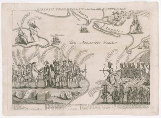
Setting out from the Wrightstown Meetinghouse in Bucks County on the morning of September 19, 1736, the provincials quickly accelerated their leisurely walking pace into a run and were able to cover about sixty-five miles in the time allotted, almost tripling the distance that would ordinarily be possible by using Indian methods of measuring land. The Penn's got the land they wanted, but at the expense of permanently alienating the Delawares. The French took the opportunity afforded by the controversy around the Walking Purchase to embrace the displaced Natives and for the next twenty years angry Delawares moved down the Susquehanna and ravaged Pennsylvania's frontier.
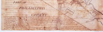
Manuscript descriptions were added to the front and back of this map in the 1750s that convey sympathy for the displaced Natives.


1826-1828
Probably y1860-1872
1726 (dated)