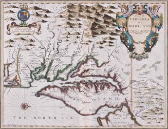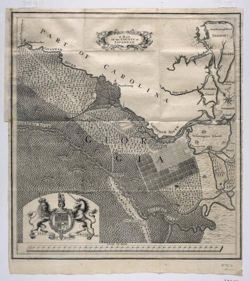
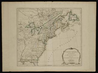
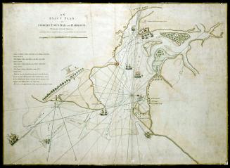
A MAP/ Of the COUNTY of/ SAVANNAH.
Date1735
Engraver
T. F. L.
After work by
James Edward Oglethorpe
OriginEurope, Germany, Halle
MediumBlack and white line engraving on laid paper
DimensionsOH: 16 1/2" x OW: 14 7/8"
Credit LineMuseum Purchase, Mrs. Anna Glen B. Vietor
Object number2009-28
DescriptionThe cartouche in the upper center reads: A MAP/ Of the County of/ SAVANNAH."The scale reads: "A Scale of Miles"
In the lower right corner an engraved inscription reads: "TFL. fec."
Label TextGeorgia’s astute founder, James Edward Oglethorpe, was keenly aware of the value of settling displaced German Protestants within the bounds of the Georgia colony. Within the first year of settlement, Oglethorpe sent numerous maps back to Germany to be used to encourage settlement. In February 1735, he sent the manuscript draft from which this map was engraved to the Georgia Trustees. This is the earliest detailed map of the colony and illustrates settlements, farms, forts, roads, and outposts surrounding Savannah. Adjacent to the town plan, Oglethorpe included the outlying farm lots.
Exhibition(s)

June 10, 1775
July 17, 1776