Maps
Refine Results
Artist / Maker / Culture
Classification(s)
Exhibitions
Date
Department
Origin
Info
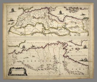
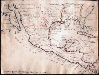
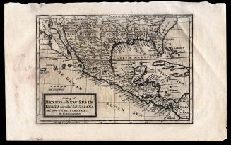
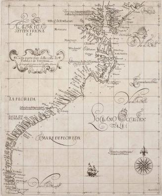
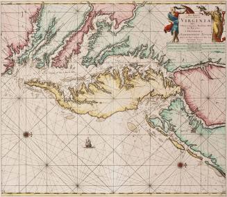
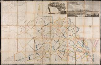
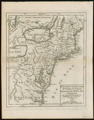
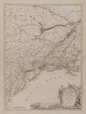
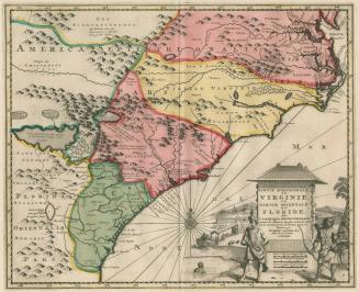
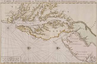
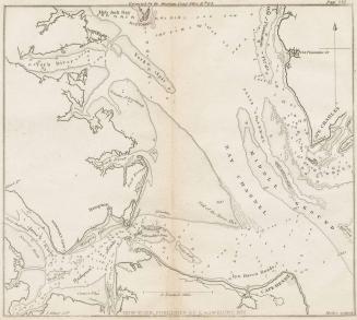
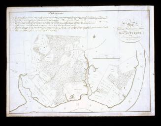
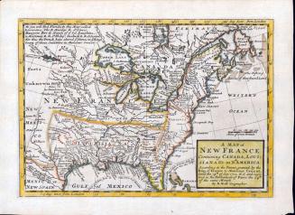
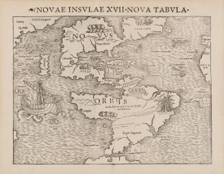
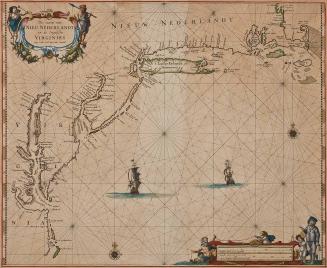
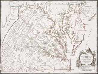
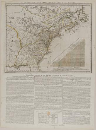
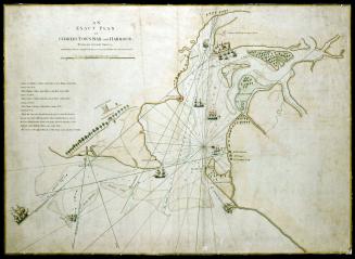
The map collection at Colonial Williamsburg is comprised of American and European maps from the 17th through the 19th century, and is the most comprehensive assemblage of Virginia maps outside of the Library of Congress. They are displayed in changing exhibitions at the Art Museums of Colonial Williamsburg and help guide our installations in Colonial Williamsburg’s historic buildings. The collection provides important information on global exploration, war, and economic interests over time, especially in North America.
259 results
ca. 1695

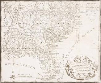
July 17, 1776