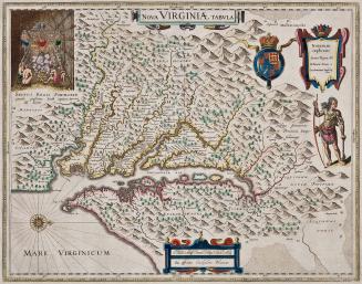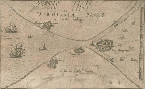
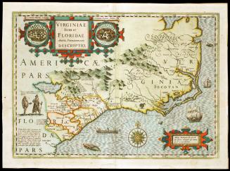
VIRGINIÆ PARS
Date1613
Maker
Anonymous
MediumBlack and white line engraving
DimensionsOH: 5 7/16" x 9 5/16"
Credit LineGift of Mr. and Mrs. Richard F. Barry, III, Mr. and Mrs. Macon F. Brock, Mr. and Mrs. David R. Goode, Mr. and Mrs. Conrad M. Hall, Mr. and Mrs. Thomas G. Johnson, Jr., Mr. and Mrs. Charles W. Moorman, IV, and Mr. and Mrs. Richard D. Roberts.
Object number2017-196
DescriptionMain Title: VIRGINIÆ PARS./ Ab Anglis inhabitataLabel TextThis map, from a German annual ("Relationis Historicae") was conjectural and shows no knowledge of Captain John Smith's map. However, it provides a contemporary record of the Virginia colonists’ attempt to establish a settlement at Henricus, “Statt Henry Ville”. “JacqueVille,” in the center of the image, is Jamestown. The map seems to be extrapolated from written accounts, such as Robert Johnson’s “much faire and open grounds freed from woods” (note the cultivated fields) and some contemporary version of Ralph Hamor’s later description of Henricus: It “stands upon a neck of very high land… cut over between two rivers with a strong pale, which maketh the land an island About two miles from the town into the main, a pale two miles in length…”
This is published in William C. Wooldridge, "Mapping Virginia: From the Age of Exploration to the Civil War" (Charlottesville: University of Virginia Press, 2012), Map 13, pp. 20-21.
First published 1606; This example: 1634
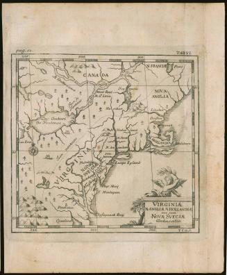
c. 1700
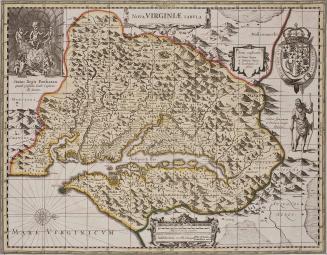
ca. 1684; originally published ca. 1655