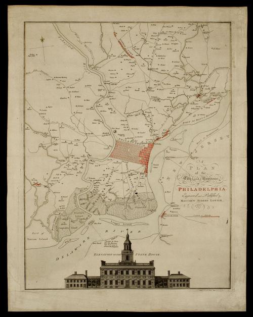
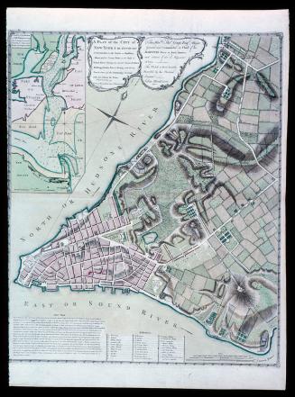
A/ PLAN/ of the/ City and Environs/ of/ PHILADELPHIA
Date1777
Engraver
Matthäus Albrecht Lotter (1741-1810)
Publisher
Matthäus Albrecht Lotter (1741-1810)
After work by
George Heap (1714-1752)
After work by
Nicholas Scull (1687-1762)
MediumBlack and white line engraving with period hand color on laid paper
DimensionsOH: 26 3/4" x OW: 20 7/8"; Plate H: 23 3/4" x W: 18 3/4"
Credit LineMuseum Purchase
Object number1950-733
DescriptionThe text in the right bottom half reads: "A/ PLAN/ of the/ City and Environs/ of/ PHILADELPHIA/ Engraved and Published by/ MATTHEW ALBERT LOTTER./ 1777"During the 18th century, Philadelphia was one of the most urban and influential cities in the American colonies. It was the site of both Continental Congresses.
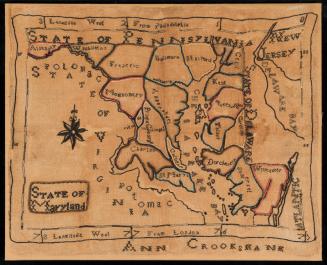
This map is based on the original 1752 survey and map by Nicholas Scull, Surveyor and General of the Province of Pennsylvania, and George Heap, a surveyor and mapmaker in Philadelphia. It includes specific reference to landowners in the settled parts of Philadelphia, and nearby Germantown, Darby, Frankfort, and Gloucester as well as the natural land formations into which these areas spread.
At the bottom of the map is an engraving of the State House, home of the second Continental Congress and the Federal Convention of 1787. The elevation is shown as it first appeared in THE GENTLEMAN'S MAGAZINE.
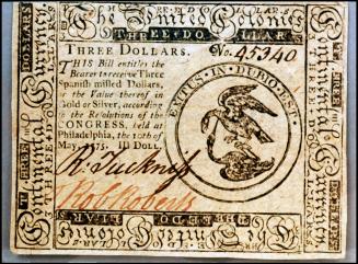
May 10, 1775.
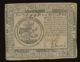
May 10, 1775.
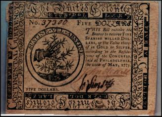
May 10, 1775.

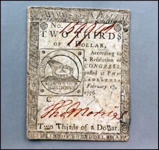
February 17, 1776
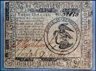
July 22, 1776
May 10, 1775.
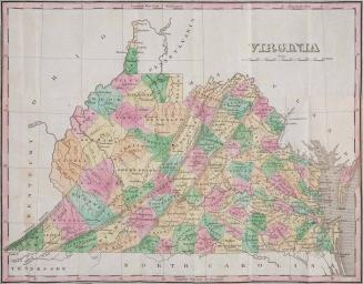
1826