Skip to main content
Collections
The Collections
Exhibitions
Favorites
Advanced Search
Home
Search Objects
Search
Objects
(12,481)
People
(26,327)
Exhibitions
(56)
Close
Refine Results
Artist / Maker / Culture
Joseph T. Scott
(2)
Thomas Jefferys (ca. 1710-1771)
(2)
Robert Sayer
(1)
Henry Timberlake (1730-1765)
(1)
T. F. L.
(1)
Thomas Jefferys
(1)
James Edward Oglethorpe
(1)
Tobias Conrad Lotter
(1)
Samuel John Neele (1758-1824)
(1)
Joshua Fry (ca. 1700-1754) & Peter Jefferson (1708-1757)
(1)
Load all
Artist / Maker / Culture
Classification(s)
*
Maps
(7)
Exhibitions
*
A Rich and Varied Culture
(7)
More than Meets the Eye: Maps and Prints of Early America
(2)
Promoting America: Maps of the Colonies and the New Republic
(2)
Date
to
Department
CWF Collection
(7)
Image Available
Origin
America, Pennsylvania, Philadelphia
(2)
England, London
(2)
Europe, France, Paris
(1)
Europe, Germany, Augsburg
(1)
Europe, Germany, Halle
(1)
Sort:
Relevance
Title (A–Z)
Date (Older First)
Object number (Ascending)
Primary Maker (A-Z)
Last Updated (Ascending)
List
Images
Table
Filters
7 results for
*
Result type
Objects
People
Exhibitions
Maps
A Rich and Varied Culture
Clear All Filters
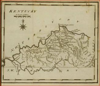
Map of Kentucky
1795
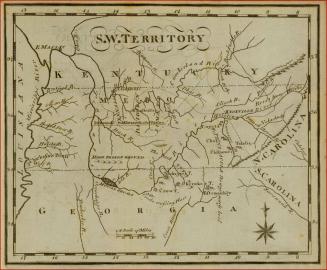
Map of the South West Territories
1795
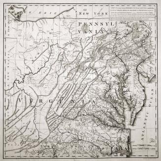
A MAP of the country between ALBEMARLE SOUND, and LAKE ERIE, comprehending/ the whole of VIRGINIA, MARYLAND, DELAWARE and PENSYLVANIA, with parts of/ several other of the United States of America.
1787
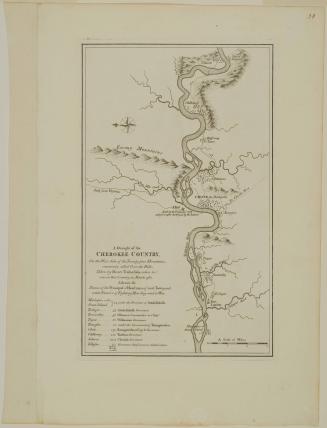
A Draught of the/ CHEROKEE COUNTRY,/ On the West Side of the Twenty four Mountains,/ commonly called Over the Hills
1768 (originally published in 1765)
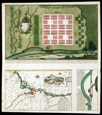
Plan Von Neu Ebenezer
1747
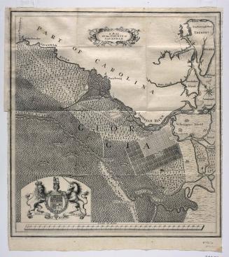
A MAP/ Of the COUNTY of/ SAVANNAH.
1735
A MAP of/ the most INHABITED part of/ VIRGINIA/ containing the whole PROVINCE of/ MARYLAND/ with Part of/ PENSILVANIA, NEW JERSEY AND NORTH CAROLINA
1768; first published ca. 1753
Next Page