Skip to main content
Collections
The Collections
Exhibitions
Favorites
Advanced Search
Home
Search Objects
Search
Objects
(12,480)
People
(26,327)
Exhibitions
(56)
Close
Refine Results
Artist / Maker / Culture
Mathew Carey
(4)
Anthony Finley
(4)
Joseph T. Scott
(3)
David H. Vance
(3)
James Hamilton Young
(3)
James Turner (1722-1759)
(3)
Robert Dodsley
(2)
Henry Schenck Tanner (1786-1858)
(2)
Samuel Augustus Mitchell
(2)
Lewis Evans (ca. 1700-1756)
(2)
Load all
Artist / Maker / Culture
Classification(s)
*
Maps
(22)
Exhibitions
A Rich and Varied Culture
(2)
Promoting America: Maps of the Colonies and the New Republic
(1)
Date
to
Department
CWF Collection
(22)
Image Available
Origin
*
America, Pennsylvania, Philadelphia
(22)
Sort:
Relevance
Title (A–Z)
Date (Older First)
Object number (Ascending)
Primary Maker (A-Z)
Last Updated (Ascending)
List
Images
Table
Filters
22 results for
*
Result type
Objects
People
Exhibitions
Maps
America, Pennsylvania, Philadelphia
Clear All Filters
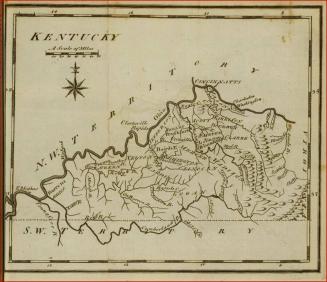
Map of Kentucky
1795
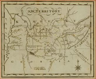
Map of the South West Territories
1795
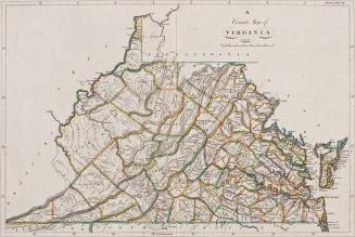
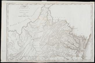
A Correct Map of Virginia
1814
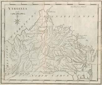
Virginia
1795
Map Fragment on Rollers
1834
To the Honourable/ Thomas Penn and Richard Penn Esq.rs/ True & absolute Proprietaries & Governours of the Province of/ Pennsylvania & Counties of New-Castle Kent & Sussex on Delaware/ THIS MAP/ Of the improved Part of the Province of/ PENNSYLVANIA.
1759
Notes on the State of Virginia
1794
Virginia
1826
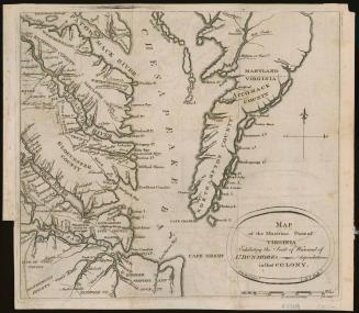
Map of the Maritime Parts of Virginia Exhibiting the Seat of War, and of Dunmore's depredations in that Colony
1776
A general MAP of the/ MIDDLE BRITISH COLONIES, in AMERICA;/ Viz VIRGINIA, MÀRILAND, DÈLAWARE, PENSILVANIA,/ NEW-JERSEY, NEW-YORK, CONNECTICUT, and RHODE ISLAND...
1755
Map of the United States, Exhibiting the POST-ROADS, the situations, connections & distances of the POST-OFFICES
1796
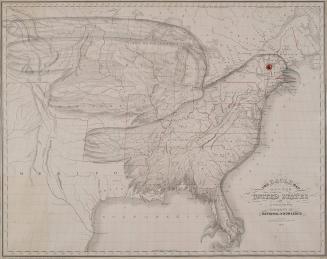
The Eagle Map of the United States
1833
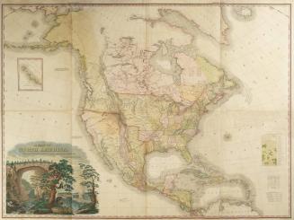
A MAP OF NORTH AMERICA,/ CONSTRUCTED ACCORDING TO THE LATEST INFORMATION:
1822
A general Map of the/ MIDDLE BRITISH COLONIES, in AMERICA,/. Viz VIRGINIA, MARILAND, DELAWARE, PENSILVANIA,/ NEW JERSEY, NEW YORK, CONNECTICUT, and RHODE ISLAND:
1755
The State of Virginia from the Best Authorities, by Samuel Lewis. 1794
1794
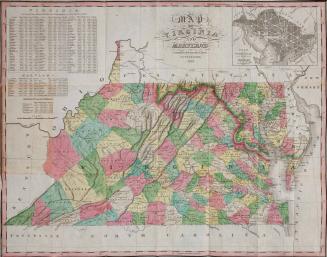
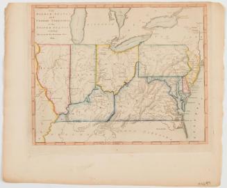
Map of Virginia and Maryland Constructed from the Latest Authorities 1824
1824/1826?
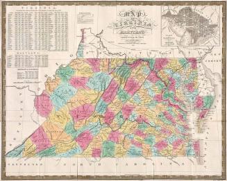
Map of Virginia and Maryland Constructed from the Latest Authorities[.] Published by S. Augustus Mitchell Philadelphia 1833
1833
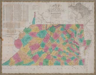
Map of Virginia and Maryland Constructed from the Latest Authorities[,] Published by S. Augustus Mitchell[,] Philadelphia 1831
1831
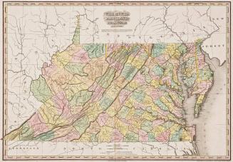
Virginia Maryland and Delaware
1820/1823
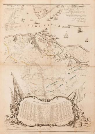
To His Excellency Gen.l Washington, Commander in Chief of the Armies of the United States of America. This Plan of the investment of York and Gloucester has been surveyed and laid down, and is Most humbly dedicated by his Excellency's Obedient and very humble Servant
1782
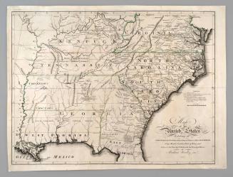
The Middle States and Western Territories of the United States including The Seat of the Western war 1812.
1812
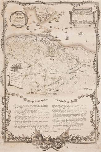
Plan of/ YORK TOWN/ IN VIRGINIA/ AND ADJACENT COUNTRY,/ Exhibiting the operations of the Am-/ erican French & English armies/ during the Siege of that place in Oct. 1781./ Surveyed from the 22.nd to the 26.th Oct.r
1823
Next Page