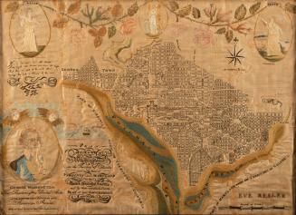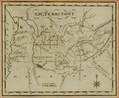
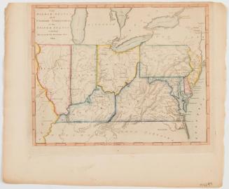
Map of the South West Territories
Date1795
Maker
Joseph T. Scott
MediumInk on laid paper
DimensionsOverall: 6 3/4 x 7 3/4in.
Credit LineMuseum Purchase
Object number2013-68
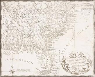
DescriptionMap of the South West Territories from Joseph T. Scott’s United States Gazetteer; 1795; Philadelphia, PennsylvaniaLabel TextIn 1789, the territory described as “south of the Ohio,” present day Tennessee, was ceded to the United States by North Carolina. Six years later, a territorial census revealed that the area was sufficiently populated for statehood. That year, Scott noted in his Gazetteer, “The religious denominations here are, the Presbyterians, Baptist, and Methodist. The population of this Territory is estimated at upwards of 50,000 souls.”
Scott recognized the importance of the Tennessee River system to the future trade of the region, noting, “From the shoals the river is navigable in boats of 40 to 50 tons burthen, to the mouth of the Holstein; thence up that river to the Long-Island, which is near the Virginia line. . .. Numerous boats are built here every year, and loaded with the produce of the territory, for New Orleans. From this place to the mouth of the Tennessee, is reckoned about 1000 miles.”
Exhibition(s)
1795

1820/1823
1826
1809 (dated)