
Sampler, Map of England and Wales by Elizabeth Ambler
Date1788
Maker
Elizabeth Ambler
(1774 - 1859)
MediumSilk embroidery threads on a worsted ground of 44 x 44 threads per inch; paper lining; wooden stretcher (fiber identification by eye)
DimensionsOH: 24 1/8" x OW; 23 1/4"
Credit LineGift of Sarah Pinckney Ambler
Object number2014-84
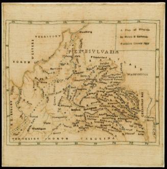
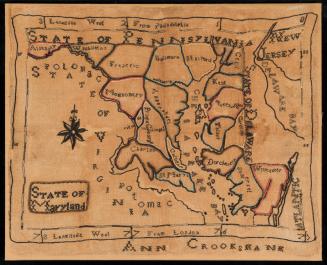
DescriptionThis rectangular map sampler is worked in six shades of green, three shades of pink, two shades of yellow, and black silk threads on a worsted ground and shows a map of England and Wales with portions of Scotland, Ireland, and France visible. The map is marked into counties using three rows of cross stitches in shade gradients, with the darkest colors toward the outside. The counties are labeled in black cross stitch, along with selected cities around the coast of the country. The title of the piece, "A Map of England and Wales", is in the upper right corner surrounded by a cartouche worked in chain stitch. The maker's name and date ("Elizabeth Ambler/ 1788") is similarly placed in the upper left corner in a cartouche. There are several unique aspects to this map sampler. The first is the unusual labeling of the North Sea as the "British Ocean" rather than the "German Ocean" as it is seen in printed maps and other map samplers of the period. Another is the unusual formation of the letter W within the middle of words.
Stitches: chain and cross
Label TextThis sampler was created by Elizabeth Ambler of Wakefield, Yorkshire, England in 1788. Samplers depicting precise replicas of printed maps were exacting geography and needlework exercises. Elizabeth Ambler's map sampler depicts "A Map of England and Wales." Each county is outlined in three rows of cross stitches in shade gradients and labeled in black cross stitches. Elizabeth probably gave the map sampler to a distant American relative who carried it back with him to Virginia where it came to reside in the Virginia Ambler family.
Stitched in Time:
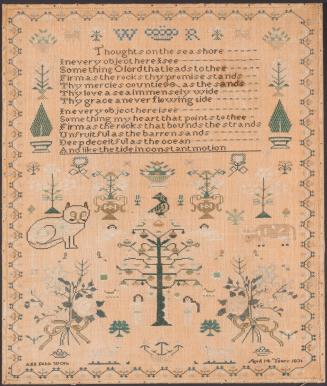
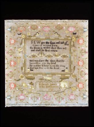
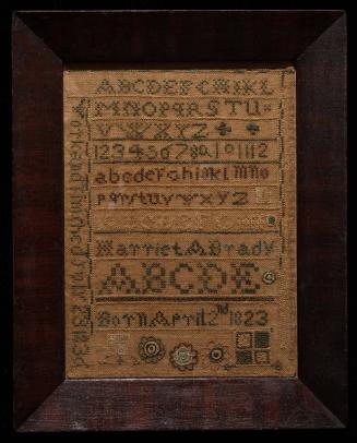
By the late 18th century, young women pursuing a formal education in England or the United States could expect geography lessons alongside reading, writing, arithmetic, and needlework. In his 'Thoughts on Female Education', published in 1787, Philadelphian Benjamin Rush explained, "an acquaintance with geography...will enable a young woman to read history, biography, and travels...and thereby qualify her not only for general intercourse with the world but to be an agreeable companion for a sensible man."
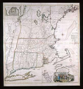
Though intended for an American audience, Rush's words were reflected in England. Elizabeth Ambler may have worked this map sampler of the British Isles in Yorkshire. It is one of many examples in which the maker stitched a printed map. Other samplers with maps range in location and detail, from single cities to double-hemispheres.
Inscribed"A/ Map of/ England/ and/ Wales"
Provenance1788, made by Elizabeth Ambler (1774-1859); 1840, given to Philip St. George Ambler (1806-1877); 1877, passed by descent to Philip St. George Ambler Jr. (b. 1852); passed by descent to Philip St. George Ambler III (b. 1891); passed by descent to Philip St. George Ambler IV (1923-2012); 2012, passed by descent to his wife, Sarah C. Pinckney; 2014, given to The Colonial Williamsburg Foundation (Williamsburg, VA)
1809 (dated)
1760 (dated)
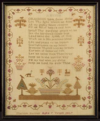
May 7, 1806 (dated)

1827 (dated)
1786 (dated)
July 23, 1836 (dated)