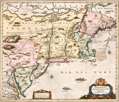
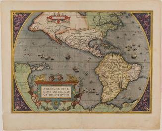
Belgii Novi, Angliae Novae, Et Partis Virginiae Novissima Delineatio
Date1657
Cartographer
Nicolas Visscher (1618-1679)
After work by
Jan Jansson
(1588 - 1664)
MediumBlack and white line engraving with period color
DimensionsTo neat lines: 17 3/8" X 20 3/8"
Credit LineMuseum Purchase
Object number2017-63
DescriptionIn cartouche at lower left corner: "BELGII NOVI./ ANGLIAE NOVAE, ET PARTIS/ VIRGINAE./ Novissima Delineatio."Label TextThe layout, cartography, and nomenclature of this map became the standard for seventeenth-century maps of North America. At the time it was first published, the Mid-Atlantic and New England were depicted using the most up-to-date information available to the Dutch West Indies Company, whose trade routes spanned the coast. This map was reissued and updated by cartographers over the course of the next century.
This copy published in William C. Wooldridge, "Mapping Virginia: From the Age of Exploration to the Civil War" (Charlottesville: University of Virginia Press, 2012). #52, pp. 59-60.
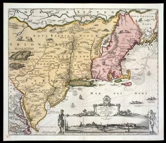
ca. 1684; originally published ca. 1655
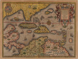
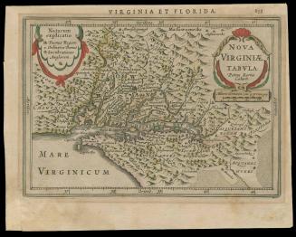
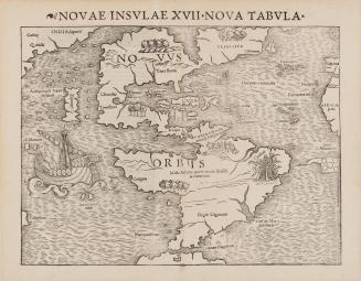
1592 (originally published 1587)
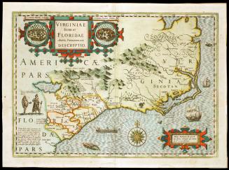
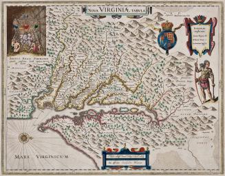
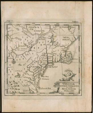
First published 1606; This example: 1634

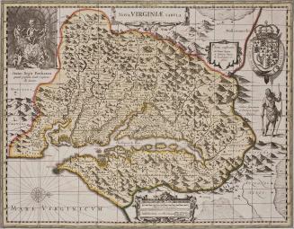
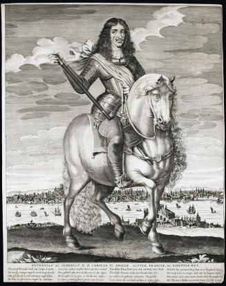
c. 1700