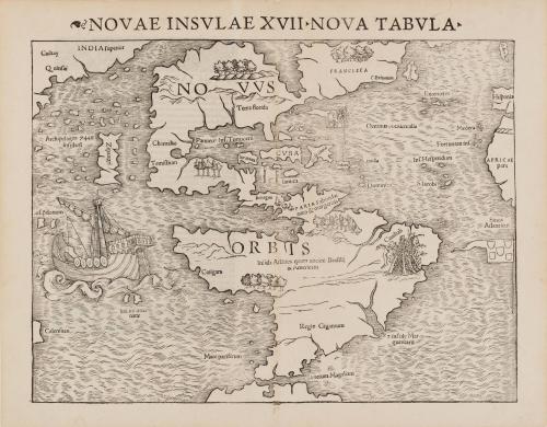
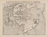
NOVAE INSULAE XVII NOVA TABULA
Date1540
Engraver
Sebastian Munster (1489-1552)
MediumRelief engraving on laid paper
DimensionsOverall: 12 × 15 1/4in. (30.5 × 38.7cm)
Credit LineMuseum purchase
Object number2017-18
DescriptionUpper margin: "NOVAE INSULAE XVII NOVA TABULA"Label TextThis is the first state of the first separate map of the Americas (Western Hemisphere), collectively labeled "Novus Orbis." The map's focus and emphasis on the "New World” or "Novus Orbis" was a revolutionary departure from popular understanding of the world's geography prior to this point. The map was published in thirteen different states between 1540 through 1578.
This copy published in William C. Wooldridge, “Mapping Virginia: From the Age of Exploration to the Civil War” (Charlottesville: University of Virginia Press, 2012), #1, pp.2-3.
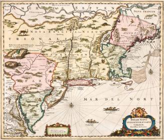
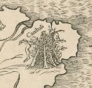
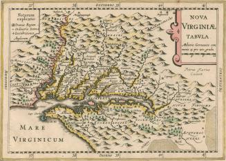
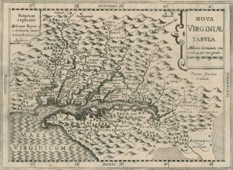
c. 1700
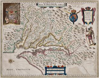
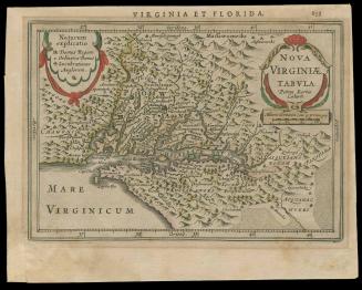
First published 1606; This example: 1634