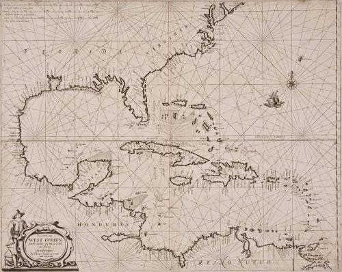
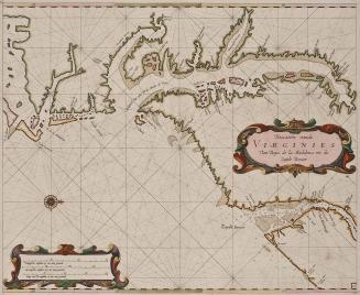
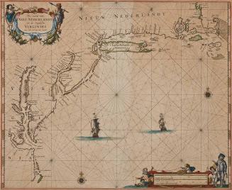
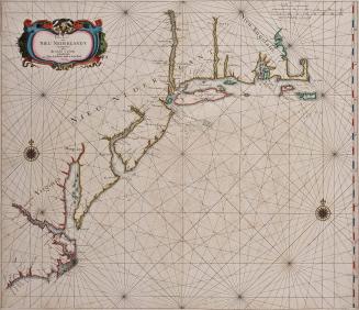
Pascaerte van West Indien Van de Caribes tot aen de Golfo van Mexico
Date1681
Engraver
Theunis Jacobsz Lootsman
(ca. 1632 -1679)
Publisher
Jacob Jacobsz Lootsman
MediumBlack and white line engraving
DimensionsTo neat lines: 17" X 21 7/8"
Credit LineMuseum Purchase
Object number2017-65
DescriptionCartouche reads: "Pacaerte van/ WEST INDIEN/ Van de Caribes tot aen de Golfo/ van Mexico/ 't Amsterdam./ by Theunis Iacobsz op 't water/ inde Lootsman."Label TextTheunis Jacobsz engraved this map based on the Willem Bleau's 'West Indianische Paskaert (c. 1630) shortly before his death at which his business passed to his widow and sons. His son Jacob published this map beginning in 1666 in the atlas 'Nieuwe Water-Werelt, Ofte Zee-Atlas.' This map was included until 1681, when a new plate was issued.
See Philip Burden, "The Mapping of North America: A List of Printed Maps" (Rickmansworth: Raleigh Publications, 1996), #299, p. 383.
This copy published in William C. Wooldridge, Mapping Virginia: From the Age of Exploration to the Civil War (Charlottesville: University of Virginia Press, 2012), #54, pp.60-61.
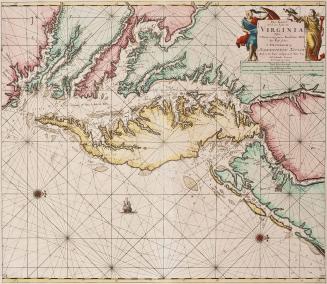
ca. 1650
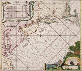
1693