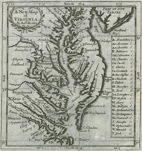
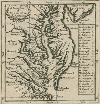
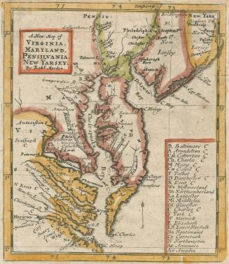
A New Map of Virginia By Robt. Morden
Date1688/1693/1700
Maker
Robert Morden (d. 1703)
OriginEngland, London
MediumBlack and white line engraving
DimensionsTo the neat lines: 5" x 4 3/4"
Credit LineMuseum Purchase
Object number2017-90
DescriptionCartouche (upper left corner): "A New Map / of / VIRGINIA. / By Rob.t Morden"Key (lower right corner): "A. Arundelton C. / Ac. Acomaco C. / Ar. Arcadia C. / B. Baltimre C. / Cal Calverton C. / Ch. Chareles C. / Cae Caecil C. / C. Charles C. / Co. Corratuck C. / D Dorchester C. / E. Elizabeth C. / F. Talbot C. / Gl. Glocester C. / K. Kent C / La. Lancaster C. / LN. Norfolk C. / M. Mary C. / Mi Midlesex C. / No Northumberl. d C / N . Northampton C. / Na. Natimond C. / S. Somerset C. / W. Westmorland C. / W. Warwick C. / Y. York C."
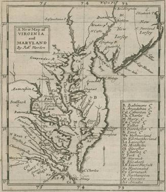
Label TextRobert Morden originally published a diminutive map of Virginia and Maryland in his publication 'Geography Rectified.' in 1680 (2017-86). For later editions, Morden updated the map and made changes to it for the next two decades. Despite removing Maryland from the title, the county names are still included in the key on the right side.
This map is published in William C. Wooldridge, Mapping Virginia: From the Age of Exploration to the Civil War (Charlottesville: University of Virginia Press, 2012), # 80, 85-86.
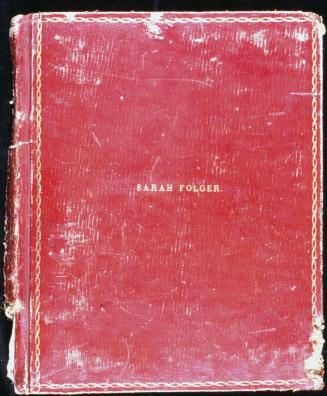
1824-1828 (range of the entires in the album).
1736-1737
1698 (dated)
1826-1840

1815-1820
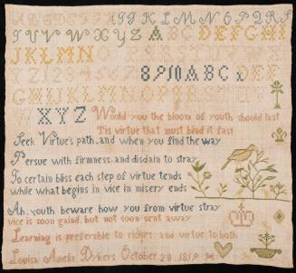
October 20, 1819 (dated)