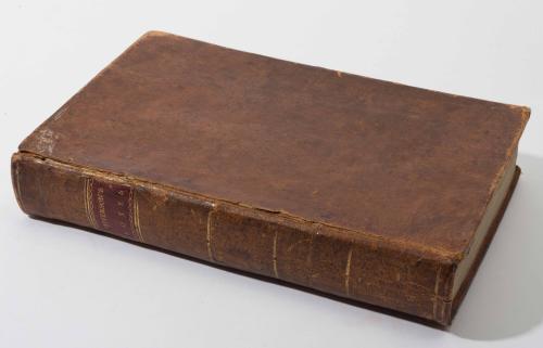
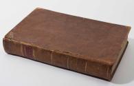
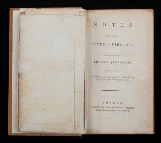
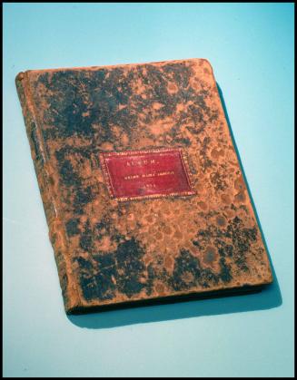
Notes on the State of Virginia
Date1794
Primary Author
Thomas Jefferson
(1743 - 1826)
Maker
Samuel Lewis
Publisher
Mathew Carey
(1760 - 1839)
MediumBook binding: leather, gold gilt, letterpress on laid paper; map: line engraving on laid paper with a blue tint
DimensionsOH: 8 1/2" x OW: 5 1/4" x OD: 1 1/2"
Credit LineGift of Mr. and Mrs. Richard F. Barry, III, Mr. and Mrs. Macon F. Brock, Mr. and Mrs. David R. Goode, Mr. and Mrs. Conrad M. Hall, Mr. and Mrs. Thomas G. Johnson, Jr., Mr. and Mrs. Charles W. Moorman, IV, and Mr. and Mrs. Richard D. Roberts.
Object number2017-233
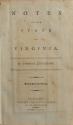
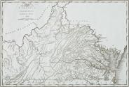
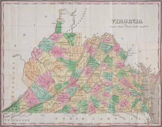
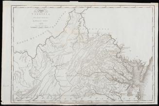
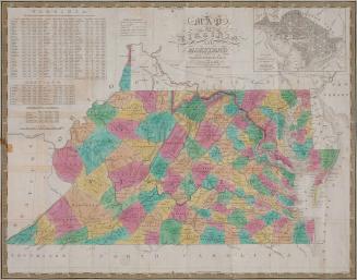
DescriptionOn title page: "NOTES/ ON THE/ STATE/ OF/ VIRGINIA/ BY THOMAS JEFFERSON./ Second American Edition./ PHILADELPHIA:/ PRINTED FOR MATHEW CAREY,/ NO. 118, MARKET-STREET./ NOVEMBER 12, 1794."Label TextEnterprising publisher Mathew Carey of Philadelphia frequently included the same map in multiple publications. In 1794, he enlisted Samuel Lewis to draft a map of Virginia for his American version of a British text, "Guthrie’s Geography." When the map was published, Carey saw another opportunity. Thomas Jefferson's book "Notes on the State of Virginia," was originally published in Paris in 1786 with a London edition in English to follow in 1787. There was demand for the book in the United States (as evidenced by a poorly pirated edition that hit the market in 1788). However, John Stockdale, the London publisher, refused to export his edition to the United States, fearing that he would not see a profit. Carey jumped at the chance and published Lewis's map in his own edition of "Notes on the State of Virginia." This book is an example of the second edition of Carey's publication.
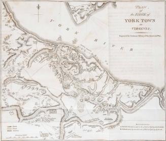
Contains the following:
"A New View of the Natural Bridge in Virginia" (Print)
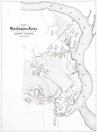
"The State of/ VIRGINIA/ from the best Authorities,/ by SAMUEL LEWIS./ 1794." (bottom margin reads: "Engraved for Carey's American Edition of Guthrie's Geography improved.")
This map is published in William C. Wooldridge, "Mapping Virginia: From the Age of Exploration to the Civil War" (Charlottesville: University of Virginia Press, 2012),#169, pp. 186-189.
1826
1824-1828 (range of the entires in the album).