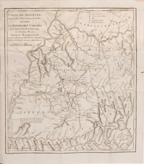

Histoire de Kentucke, Nouvelle Colonie a l'oueste de la Virginie
Date1785
Maker
John Filson
(1747 - 1788)
OriginEurope, France, Paris
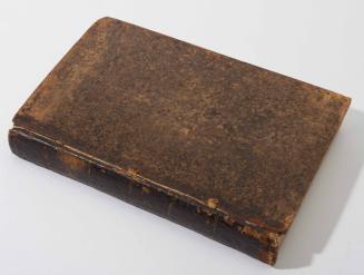
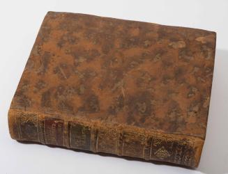
MediumTypeset on laid paper with black and white engraved illustrations. Full contemporary mottled calf, ornate gilt spine and label with marbled endpapers.
DimensionsBook: OH 8" x OW 5"; Map: OH: 15 1/4" x 13 1/2"
Credit LineMuseum Purchase, The Antique Collectors Guild
Object number2013-83
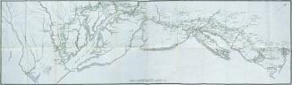
DescriptionThis book is the French translation of John Filson's "The Discovery, Settlement and Present State of Kentucke," published in 1785.Label TextPublished just one year after the American original, both editions, and another German translation completed in 1790, contain one of the earliest known maps of the territory of Kentucky. "The Map of Kentucke" was engraved and printed in Philadelphia for inclusion in Filson's book and is based on his own observations. Considered to be Kentucky's first historian, John Filson, related the adventures of Daniel Boone in the book's appendix and this is thought to be a source for Lord Byron's Don Juan.
MarkingsBookplate of Bibliotheque de Mr. Lieffroy pasted in upper inside front cover
ProvenanceClive A Burden Ltd.
1800-1827 (compiled); some 1726
1824-1828 (range of the entires in the album).