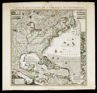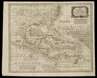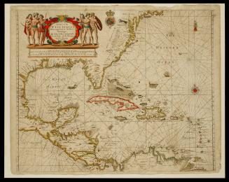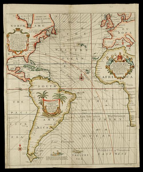
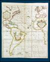
A New and Correct CHART/ Shewing the VARIATIONS of the/ COMPASS/ in the/ WESTERN & SOUTHERN/ OCEANS...
Dateca. 1700
Cartographer
Edmond Halley
(1656 - 1742)
Engraver
John Harris
(1667 - 1719)
Publisher
Richard Mount and Thomas Page (1698-1712)
OriginEngland, London
MediumBlack and white line engraving with period hand color on laid paper
DimensionsOH: 24 3/8" x OW: 20 1/8"; Plate H: 23 1/4" x W: 19 5/8"
Credit LineMuseum Purchase
Object number1985-250
DescriptionThe cartouche over South America reads: "A New and Correct CHART/ Shewing the VARIATIONS of the/ COMPASS/ in the/ WESTERN & SOUTHERN/ OCEANS/ as Observed in y.e/ Year 1700; by his Ma.sties Command/ by Edm. Halley./ Sold by R. Mount and T. Page on Tower Hill/ London."The cartouche over North America reads: "The Curve Lines which are/ drawn over the Seas in this Chart/ ,do shew at one View all the places/ where the Variations of the Com/ pass is the same: The Numbers to/ them shew how many degress the/ Needle declines either Eastwards/ or Westwards from the true/ North; and the Double Line/ passing near Bermudas and/ the Cape de Virde Isles is that/ where the Needle stands true,/ without Variation."
The cartouche over Africa reads: "Majestati semper Augustae/ GULIELMI III D.G./ MAGNE BRITANNIAE, FRA. & HIB./ Regis Invictissimi./ Tabula haec Hydrographica/ VARIATIONUM MAGNETICARUM INDEX/ Devotissime Consecratur/ a Subdito Humillimo/ Edm. Halley."