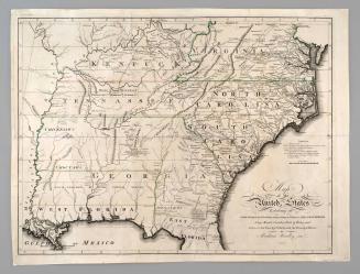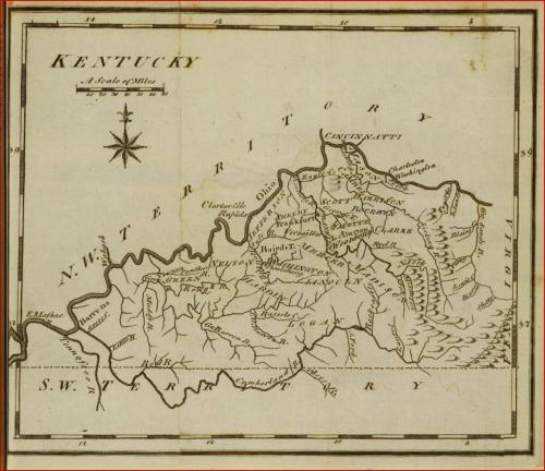
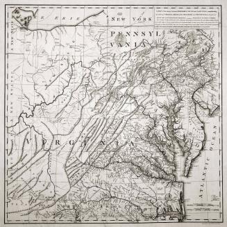
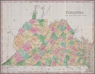
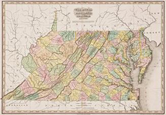
Map of Kentucky
Date1795
Maker
Joseph T. Scott
MediumInk on laid paper
DimensionsOverall: 6 3/4 x 7 3/4in.
Credit LineMuseum Purchase
Object number2013-69
DescriptionMap of Kentucky from Joseph T. Scott’s United States Gazetteer; 1795; Philadelphia, PennsylvaniaLabel TextFollowing a lengthy description of the terrain, climate, and natural resources of Kentucky, Scott noted that “When we reflect on the richness of the soil, the agreeable temperature of climate, the salubrity of the water, and the numerous navigable rivers which intersect this whole state, we are no longer surprised that, in 1784, 12,000, and in 1787, 20,000 souls emigrated to this country from different parts of the United States and Europe, of various religions, habits, manners, and political sentiments; yet in the oldest settled country there is scarcely to be found so much social intercourse, hospitality, and politeness, as amongst the citizens of this state.” Map from the first edition of the first Gazetteer of the United States
Exhibition(s)
1826
1820/1823