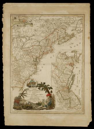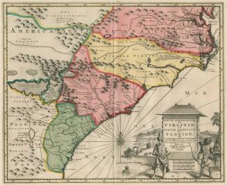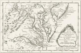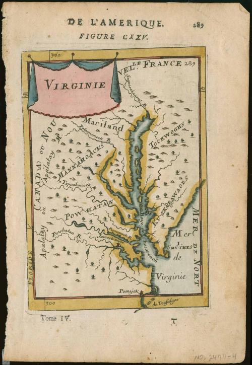
Virginie
Date1683
Maker
Alain Manesson Mallet
(1670 - 1706)
OriginEurope, France, Paris
MediumBlack and white line engraving with period color; Letterpress
DimensionsOH: 8 1/8" x OW: 5 3/8"
Credit LineMuseum Purchase
Object number2017-74
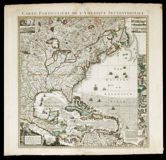
DescriptionUpper margin reads: "DE L'AMERIQUE./ FIGURE CXXV./ 289"Cartouche upper left corner reads: "VIRGINIE"
Lower margin reads: "Tome IV./ T"
Label TextThis map appeared in volume five of Alain Manesson Mallet's "Description de L'Univers."
This copy published in William C. Wooldridge, Mapping Virginia: From the Age of Exploration to the Civil War (Charlottesville: University of Virginia Press, 2012), #70, pp. 76-77.