Child's Composite Atlas
Date1790
Engraver
Amos Doolittle (1754-1832)
Publisher
Jedidiah Morse (1761-1826)
MediumBlack and white line engraving on laid paper
DimensionsOH: 4 1/2" x OW: 3 1/2"
Credit LineMuseum Purchase, Mrs. Anna Glen B. Vietor Map Fund
Object number2011-25
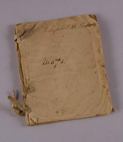
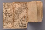
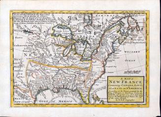
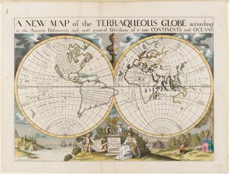
DescriptionThe front page inscription reads: "Elizabeth H. Baker./ Maps."This composite atlas contains the following maps:
"THE WORLD/ Agreeable to the last Discoveries in the South Seas/ Doolittle Sculp. N.H."
"AFRICA/ Doolittle Sculp. N. Haven"
"EUROPE/ Engrav'd for Morses Geography by Doolittle N. Haven"
"SOUTH AMERICA/ Doolittle Sc. N. Haven"
"ASIA/ Doolittle Sc. N. Haven"
Hemisphere map showing the curvature of the earth "Doolittle Sc. N. Haven"
"The Solar System./ Doolittle Sculp.t"
"A/ MAP/ of the/ UNITED/ STATES/ of/ AMERICA/ A. Doolittle"
Label TextChild's composite atlas made up of 8 maps on 18 pages that are bound by two leather ties and thread. On the front paper wrap it is signed "Elizabeth H. Baker" and titled simply "maps." The eight maps that is contains are from the 2nd edition of Jedidiah Morse's "Geography Made Easy" and are all engraved by Amos Doolittle of New Haven. This work was first issued in 1784. The maps are: Untitled Hemisphere map focuses on Africa, Europe and a portion of Asia. This map shows the curvature of the earth. Wheat & Brun #8; solar System; The world. Wheat & Brun #7; A Map of the United States of America. Wheat & Brun #116 3rd state; Africa. Wheat & Brun #841; South America. Wheat & Brun #702; Asia. Wheat & Brun #864; Europe. Wheat & Brun #744. The United States map was first issued by Morse in 1784 and is largely based on Abel Buell's famous wall map done the same year. It is also known as the first "national" map of the US done for children. Morse's work is also the first school geography published in the United States.
InscribedThe upper right corner of the front page reads: "Elizabeth H. Baker."
The center of the front page reads: "Maps."
ca. 1793


1826
ca. 1650
1800-1820

ca. 1830