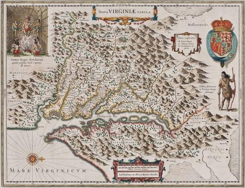
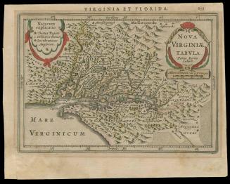
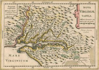
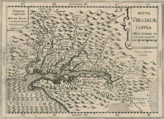
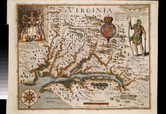
NOVA VIRGINAE TABULA
Date1639-1642
Publisher
Henricus Hondius
(1597 - 1651)
After work by
Captain John Smith (1580-1631)
MediumBlack and white line engraving with period hand color on laid paper
DimensionsOverall: OH: 19 1/2" x OW: 22 1/2"; To neat lines: 15" x 19 1/4"
Credit LineMuseum Purchase
Object number2017-47
DescriptionThe text below the upper left scene reads: "Status Regis Powhatan/ quando prefectus Smith Captivus/ illi daretur."The key reads: "Notar. explicatio./ Domus Regum/ Ordinariae Domus/ Lucubrationes An/ glorum."
The scale reads: " Milliaria Germanica communia/ Amstelodami, ex officina Henrici Hondii."
Label TextThis derivative of John Smith's 1612 map of Virginia (2017-197) was engraved and published by Henricus Hondius, brother of Jodocus Hondius Jr, who in 1618 published his own edition of the map (2017-40). When Jodocus died in 1629, the plate was sold to Willem Janszoon Blaeu, who added his name to the plate and published it in atlases (see 2017- 41). Henricus copied his brother's plate fairly closely, changing some of the decorative motifs slightly and the direction that the Susquehannock Indian on the right side of the map is facing. Over the next thirty-three years, this map appeared in around thirty seven editions. [1] This map appeared in both Hondius and Mercator atlases over many editions and years, with no change in the map itself.
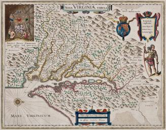
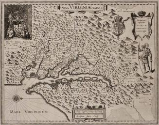
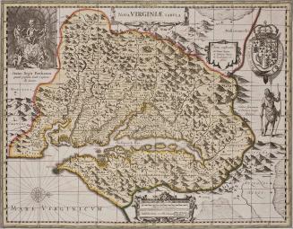
The orientation of the land in all of the Smith versions of Virginia, used by many others, is to depict East at the bottom of the map, and thus to have the Chesapeake Bay running from left to right across the map, rather than up and down as happened in later maps. It is assumed that this is from the last state of the Smith map, thus showing as complete a picture of settlement in the colony as was possible at this time, but of course incomplete as we now know as possible. Several designs appear on this map. In the upper right is a scene in Powhatan's lodge. In the upper left is a coat of arms beside a key. Across the bottom is a cartouche that contains the scale.
1. This copy is published in William C. Wooldridge, "Mapping Virginia: From the Age of Exploration to the Civil War" (Charlottesville: University of Virginia Press, 2012), pp. 39-40, #31.
c. 1700
1648
1627
ca. 1710