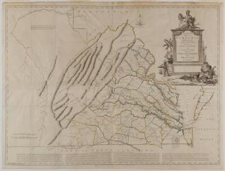
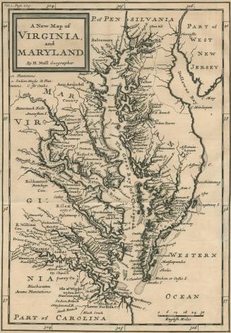
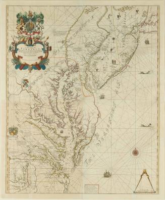
VIRGINIA and/ MARYLAND
Date1729 (originally published 1708)
Cartographer
Herman Moll (1654?-1732)
OriginEngland, London
MediumLine engraving with period hand color on laid paper
DimensionsOH: 13 7/8" x OW: 11 3/4" (framed)
Credit LineMuseum Purchase
Object number1984-210
DescriptionThe upper left margin reads: "VIRGINIA and/ MARYLAND/ By H. Moll Geographer, 1729"Label TextThe importance of this small map, which is not as precisely drawn as most, is that at the time it was one of the most widely distributed maps of the Chesapeake Bay area. It was published in various editions and atlasses since its first appearance in John Oldmixon's "The British Empire in America" in 1708. The map served as the main tool for learning the geography of the area.

After 1735; originally published 1715

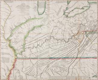
1723-1728, originally published ca. 1701