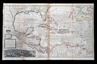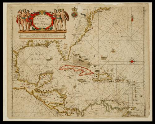
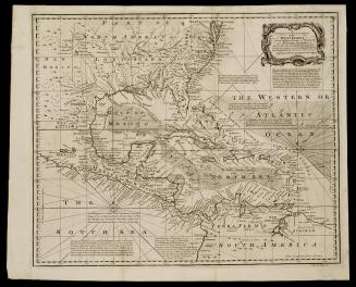
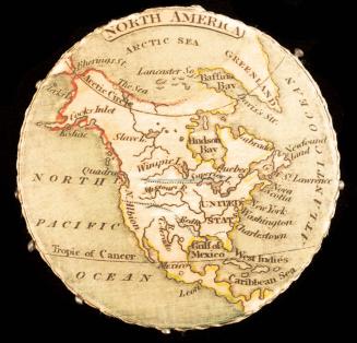
A Chart of the/ WEST INDIA'S/ From Cape Cod to the River/ Oronoque
Dateca. 1685
Cartographer
John Seller
(fl. 1658-1698)
OriginEngland, London
MediumBlack and white line engraving with period hand color on laid paper
DimensionsOH: 17 5/8" x OW: 22"
Credit LineMuseum Purchase
Object number1988-22
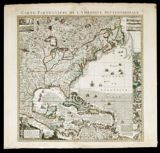
DescriptionThis map depicts the Caribbean islands as well as parts of North America, Central America, and South America.The cartouche reads: "A Chart of the/ WEST INDIA'S/ From Cape Cod to the River/ Oronoque/ By John Seller Hydrographer/ to the King,/ At the Hermitage/ Stairs in Wapping/ London."


1800-1820