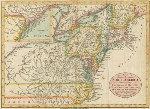
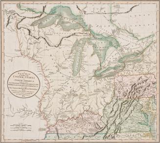
Part of North America comprehending The Course of the Ohio, New England, New York, New Jersey, Pennsylvania, Maryland, Virginia, Carolina & Georgia
Date1782
Maker
John Cary Sr.
(1755 - 1835)
OriginEngland, London
MediumBlack and white line engraving with period color
DimensionsOH: 10 1/4" x OW: 13 1/4"
Credit LineMuseum Purchase
Object number2017-115
DescriptionCartouche reads: "PART/ of/ NORTH AMERICA,/ comprehending/ The Course of the Ohio,/ NEW ENGLAND, NEW YORK,/ NEW JERSEY, PENNSYLVANIA,/ MARYLAND, VIRGINIA,/ CAROLINA & GEORGIA."Below cartouche reads: "J. Cary sculp.t"
Lower margin reads: "Published Jan.y 19, 1782, by I. Fielding, N.o 23, Pater-noster Row."
Label TextIn an attempt to publish maps depicting the newly formed United States, mapmakers turned recycled pre-Revolutionary maps. John Cary Sr. used geography from Robert De Vaugondy's 1755 map of the east coast. The inset in the upper left corner was added to include South Carolina and Georgia.
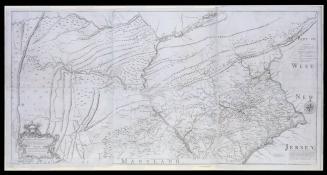
This copy is published in William C. Wooldridge, “Mapping Virginia: From the Age of Exploration to the Civil War” (Charlottesville: University of Virginia Press, 2012), #132, pp. 142-143.

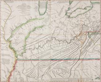


1723-1728, originally published ca. 1701


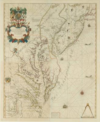
After 1735; originally published 1715