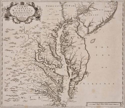
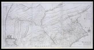
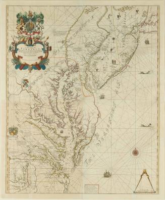
A New Map of Virginia Maryland And the Improved Parts of Pennsylvania & New Jersey
Date1685
Maker
Christopher Browne
OriginEngland, London
MediumLine engraving on laid paper
DimensionsOH: 21" x OW: 24 3/4"
Credit LineGift of Mr. and Mrs. Richard F. Barry, III, Mr. and Mrs. Macon F. Brock, Mr. and Mrs. David R. Goode, Mr. and Mrs. Conrad M. Hall, Mr. and Mrs. Thomas G. Johnson, Jr., Mr. and Mrs. Charles W. Moorman, IV, and Mr. and Mrs. Richard D. Roberts.
Object number2017-207
DescriptionTitle: A NEW MAP/ of/ VIRGINIA. MARY=LAND/ And the Improved Parts of/ PENN=SYLVANIA/ &NEW=JERSEY/ Sold by/ Christpher Browne/ at the Globe near the/ West end of S.t Pauls/ Church, London.Label TextThis 1685 map, published by Christopher Browne, depicts the Chesapeake Bay and Delaware Bay and their surrounding areas. It was one of the most important maps of the region in the late seventeenth century, and it is the earliest printed map to show the boundary line between Maryland and Pennsylvania, which later became the Mason-Dixon Line. This is the earliest version of a plate that was later modified by English cartographer and engraver John Senex in 1719.
InscribedManuscript notation at top right corner in ink: CXXXVIII; On verso, manuscript notation in ink top left corner: 138

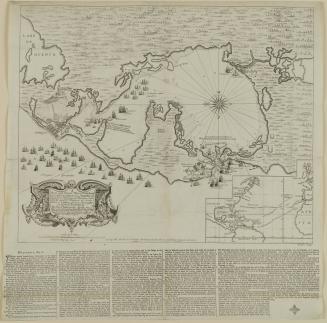
After 1735; originally published 1715

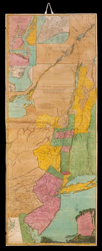
1723-1728, originally published ca. 1701